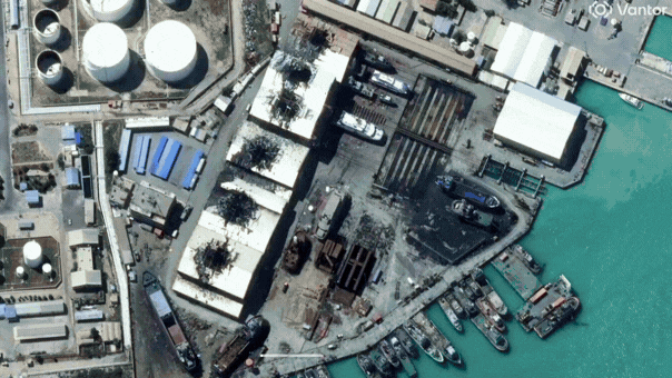
- Satellite imagery has provided a rare and detailed view of the extensive damage caused across Iran.
- The imagery captures significant destruction following military strikes conducted by the U.S. and Israel.
- Notable features in the satellite photos include burning facilities and widespread devastation.
- The areas affected range from the capital city, Tehran, to various locations along the Gulf coast.
- These images serve as a critical tool for assessing the impact of the strikes on Iran’s infrastructure.
Source: https://www.foxnews.com/politics/new-satellite-images-reveal-fires-damage-iranian-naval-bases-after-us-israeli-strikes)


